Run Every Street
During the great 2020 stay at home and no group events, I felt no real drive to keep running so I ended up with just trying out a few short training plans. It worked out somewhat, but each time a plan ended, without something new to do I stalled each time.
While sitting around reading about running instead of running, I found Rickey Gates’s Every Single Street. He ran his new town San Francisco, as a new challenge. While reading about it, this quote stood out to me.
To walk across a place is to observe and participate in a vast, intricate, and complex web of infrastructure. It is to experience the history of that place in a very real and personal way. It is to have a better understanding of what that place is. Where that place is. Who that place is. Why that place is. — Rickey Gates
Here we go
I decided to see if this was a challenge I could get involved in and could try out.
After some time with Google I found that there were tools out there to assist with keeping track of your paths:
I input my information and found out that I had only run 7% of my town’s streets, despite all the miles I put in training. The sites showed about 750 streets and 160 miles of runnable streets. I had lived in the same place for over 10 years, run hundreds of miles there, yet had only covered a small part. It seems doable, a fun accomplishment and an interesting way to learn more about where I live.
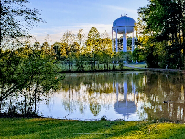
A little more than 5 weeks ago I started running my town, Holly Springs. In the process, I’ve learned a bit about making the attempt easier and how to plan.
Here are some tips on what I’m using to get this done, this is just what works for me.
Routing
I use RunGo for both planning out routes and turn by turn instructions. I have tried a few other apps and my Garmin, but for me, RunGo does the best job. My Garmin Fenix 5 only beeped at turns and I had to carry extra instructions, and the other apps didn’t do more than trace my path on a preplanned route. Sometimes I make a route list to, especially on my longer runs or when the weather may not cooperate. It is always good to have a backup and I’ve used them more than once.
If you haven’t been to where you’ve run (or like me not paid a lot of attention driving by) you’ll want to scope things out on Google Maps and street view. You may find a better starting spot, find a missing sidewalk, or see a bigger uphill climb depending on your route. It will make things easier to see.
I have learned that on my Android phone that it tries to pause podcasts for the next directions and the directions can end up garbled, so I usually listen to music (a new run habit) when I run, or sometimes nothing at all but my directions.
I use Poly Backbeat Fit 2100 headphones, they’re open and let in ambient sound so I can still hear around me while the nice lady tells me where to run.
Keeping Track
I ended up choosing StreetFerret for my official street tracking. I never tried the full version of CityStrides, but StreetFerret had a very responsive app owner, allows me to download completion of every street covered so I can make my analytics, as I learn more about geographic computing, I can use it to tune my reports.
When I started my list of streets had 747 streets. As I’ve run I’ve run on streets that were marked improperly as public, private, no access. During my last run, one of the streets had been renamed to honor the newspaper distribution center it hosted. There may be new neighborhoods and missing streets. Another part of this running all the streets is that I can update the maps at OpenStreetMap. Both tracking apps will pull the street changes in and your map and counts will update. Hopefully, you didn’t skip that street just because it wasn’t on the map this time. I now have 755 streets on the list and found a few extensions and roads to add my last run that are not yet included until I have time to consult the official county maps, my GPS traces, and photos of the changes.
Opinions and Tips
If your town is big and seems too imposing, see if you can find a neighborhood to run, I’ve completed half marathon-length runs in a single subdivision, and one of our larger subdivision has over 20 miles. Starting with something small, or breaking bigger places into smaller may make getting started easier. I do try to run neighborhoods each time I plan out a route, it does feel more satisfying to know each run completes part of your goal.
I have found that you have to plan for only 60-70% of your run distance to count, especially if you’re in a suburban area with a fondness for the cul-de-sac. I have made quite a few in and out 100-yard dashes to catch many of them in our area.
Give it a try, it is a fun goal to have while we don’t have races, and travel is limited by the pandemic.